|
| *****SWAAG_ID***** | 110 |
| Date Entered | 20/01/2011 |
| Updated on | 10/11/2011 |
| Recorded by | Stephen Eastmead (admin) |
| Category | Mining Related |
| Record Type | Mining |
| Site Access | Public Access Land |
| Record Date | 18/01/2011 |
| Location | Surrender Lead Smelt Mill, 1.5Km North of Feetham. |
| Civil Parish | Reeth |
| Brit. National Grid | SD 99057 99954 |
| Altitude | 352m |
| Record Name | Surrender Lead Smelt Mill |
| Record Description | This smelt mill replaced the Surrender Company's New and Low Smelt Mills in 1841. The design included a 1500feet flue up Reeth Low Moor. This first phase flue when built terminated 1545 feet above the mill. In 1866 the flue was extended to 2445 feet terminating on the top of the moor. The mill had 3 ore hearths, a slag hearth, a roasting oven and a 16 feet x 4 feet water wheel in the bellows room. The mill closed in 1880 when it was owned by AD mines. It was maintained up to the early 1900's before being stripped of its assets in stages up to 1909. It is now a scheduled monument. |
| Dimensions | Smelt mill = 85 feet x 31 feet. |
| Image 1 ID | 172 Click image to enlarge |
| Image 1 Description | Surrender Lead Smelt Mill. | 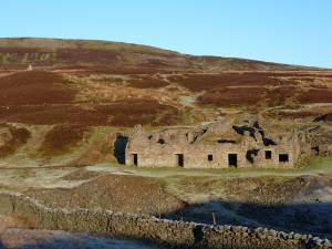 |
| Image 2 ID | 173 Click image to enlarge |
| Image 2 Description | Peathouse. | 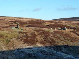 |
| Image 3 ID | 174 Click image to enlarge |
| Image 3 Description | Mill and Peathouse. | 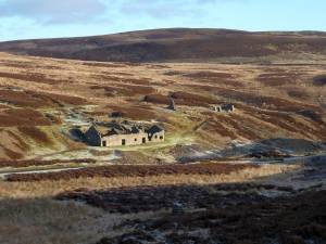 |
| Image 4 ID | 175 Click image to enlarge |
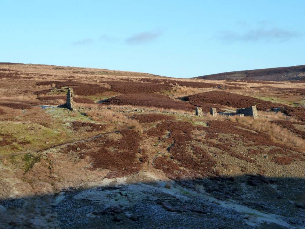
| Image 4 Description | Flue first and second phases. | 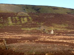 |